Snow
reaches sea level.
I
drive to Vágar. One of the two sub-sea tunnels takes me there. The other one
goes to Klaksvík. There‘s
a fee for using sub-sea tunnels and like with ferries you pay only for one way. They
don‘t believe that one would stay on a small island.
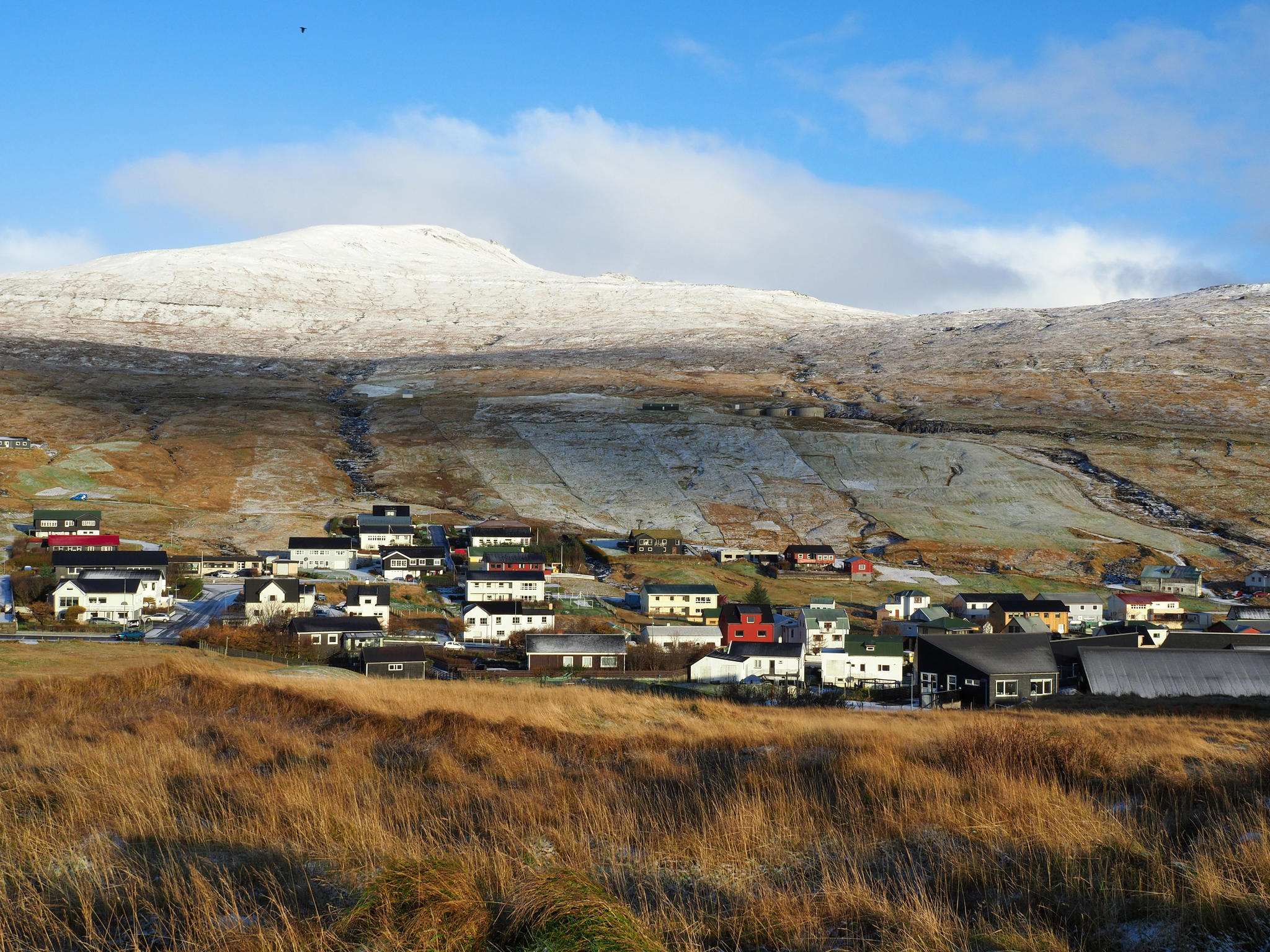
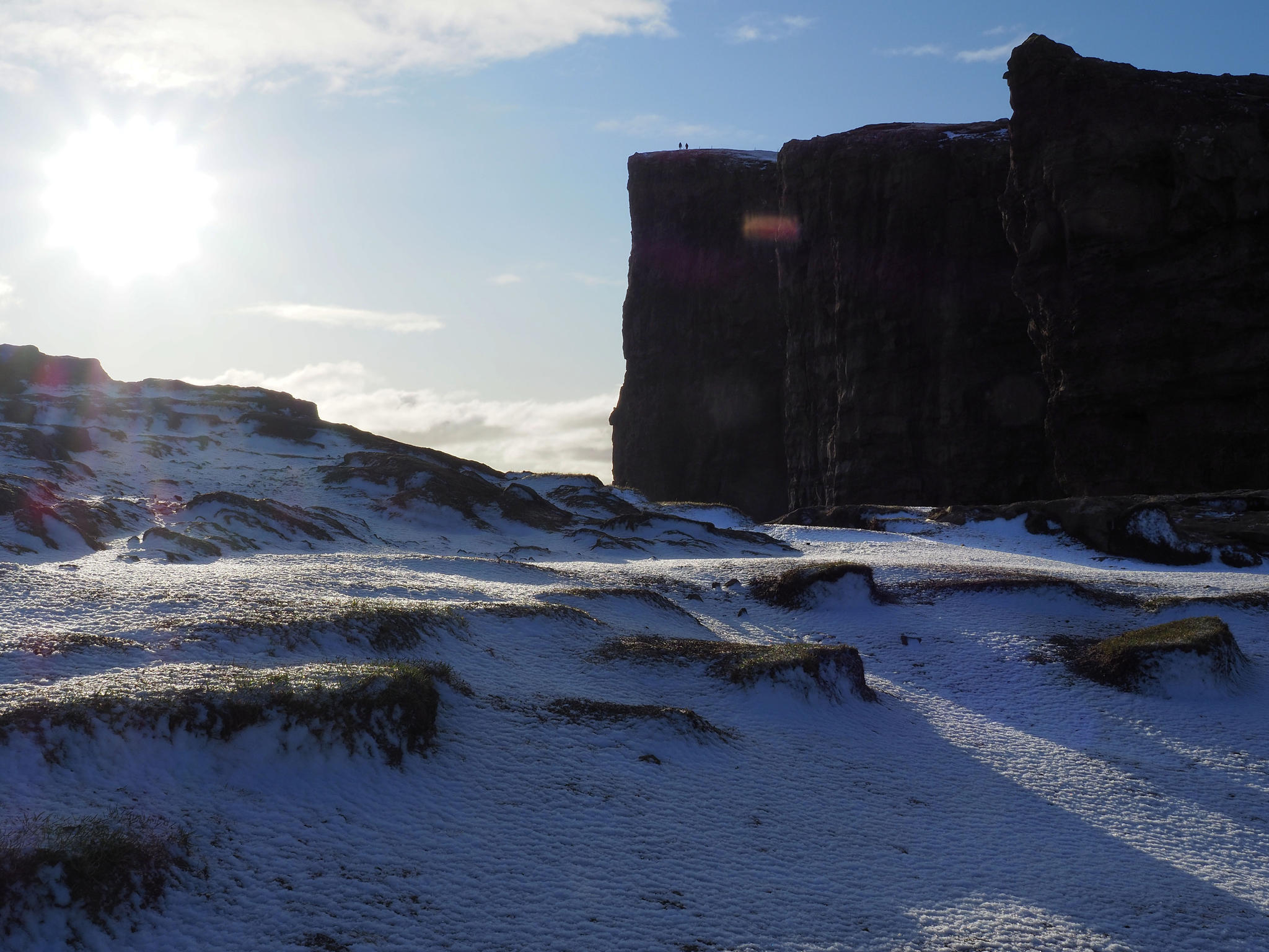
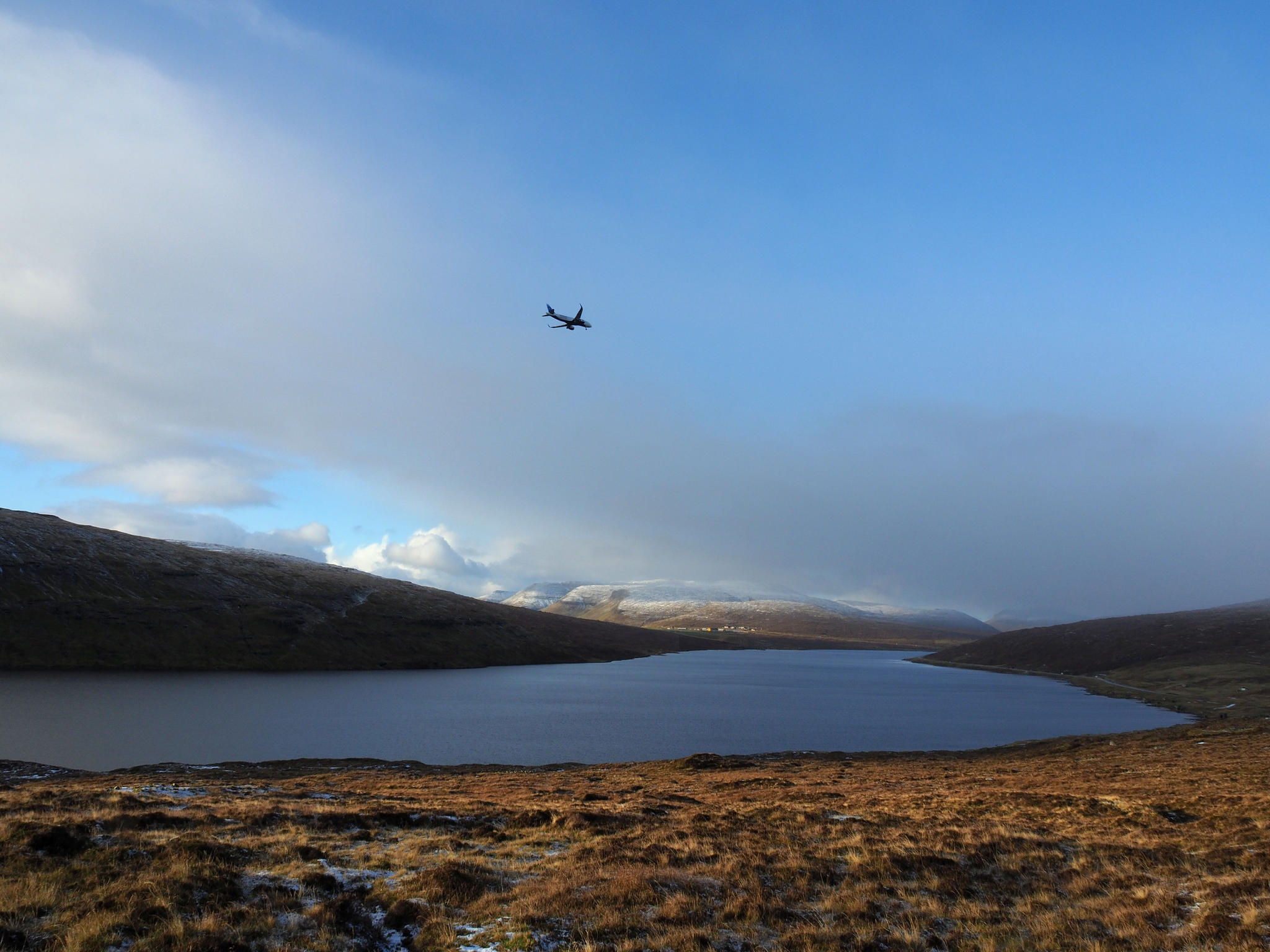
Vágar
is the island from where the Faroese have made most of the pictures that are in
tourist brochures. It means that it should be worthwhile to go there and that
there are other tourists.
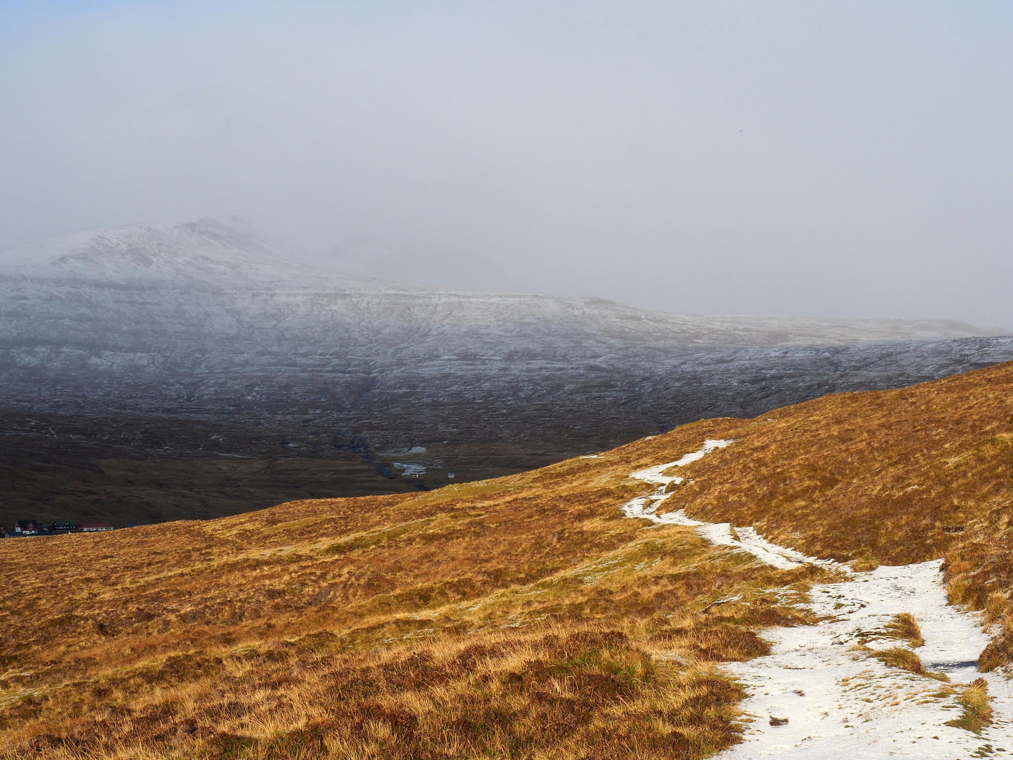
I
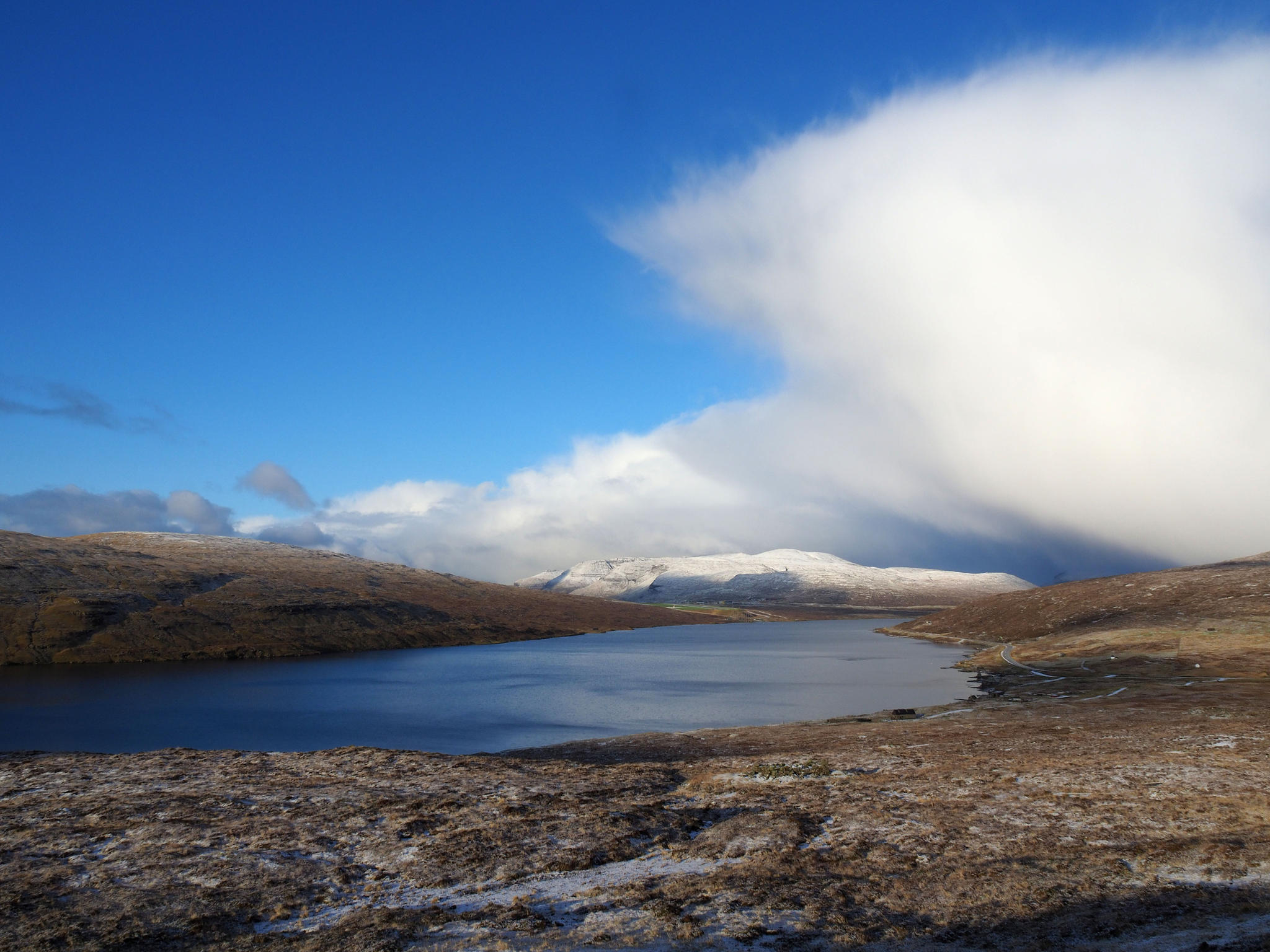
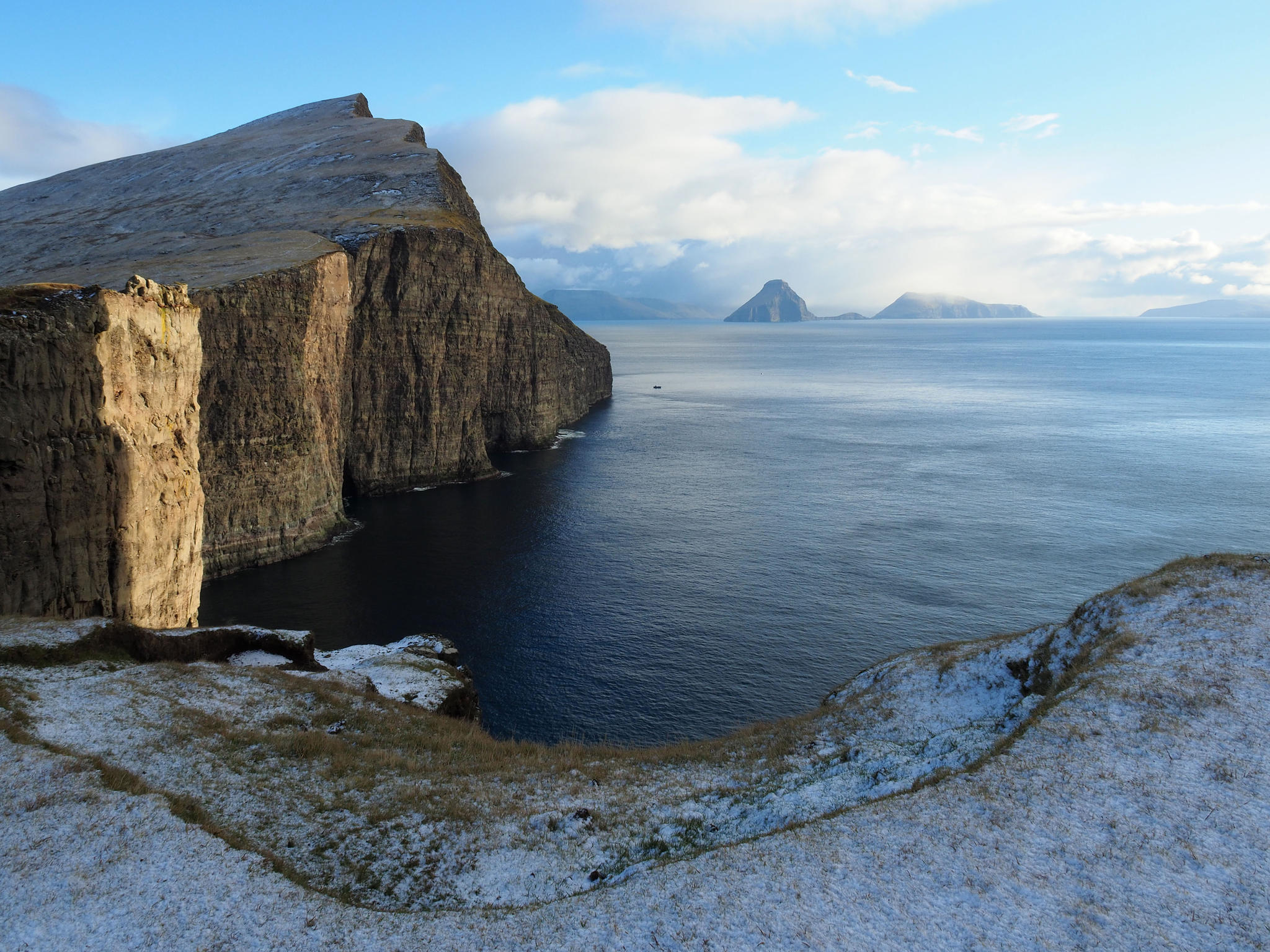
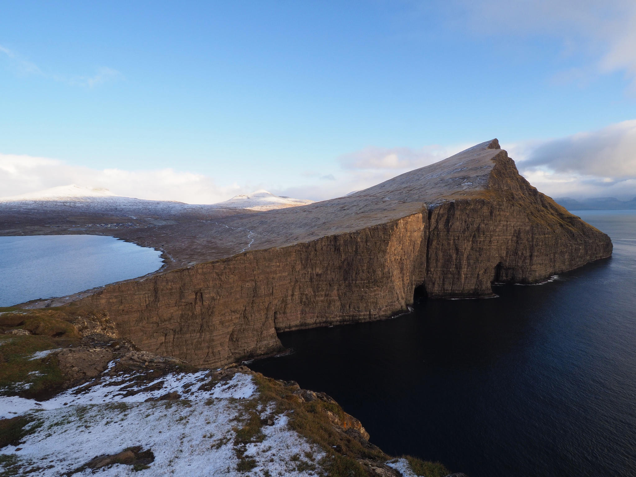
go to have a look at the biggest lake of the Faroe Islands. It’s called either
Leitisvatn or Sørvágsvatn. For locals just Vatn. The lake is not famous only
for its size but also for the fact that it is located higher than the sea and it
says everywhere that it’s an optical illusion. A lake higher than sea-level is
of course nothing special and this one is also no illusion for a waterfall
drops from the lake into the sea. But on drone photos it really looks a bit
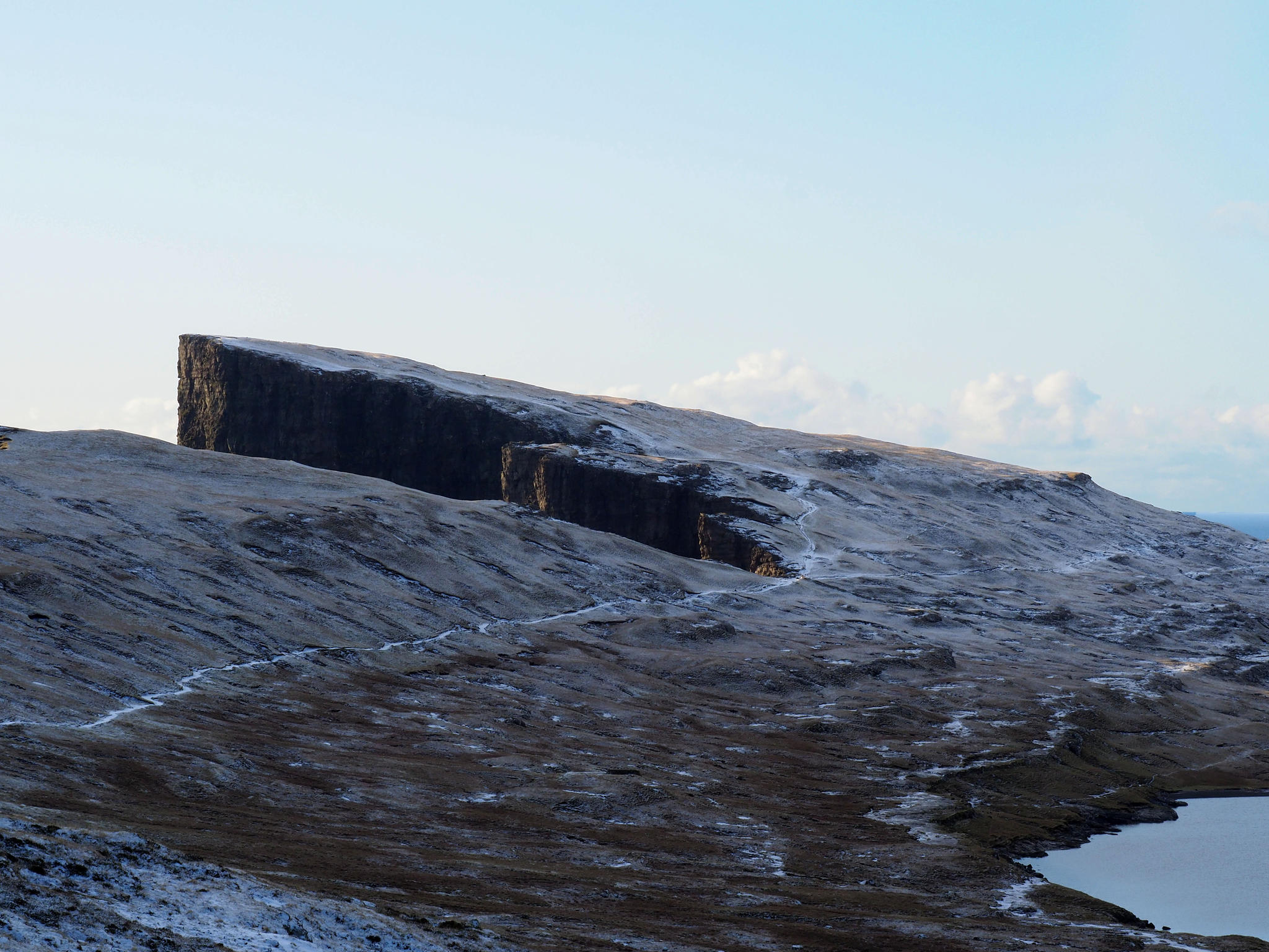
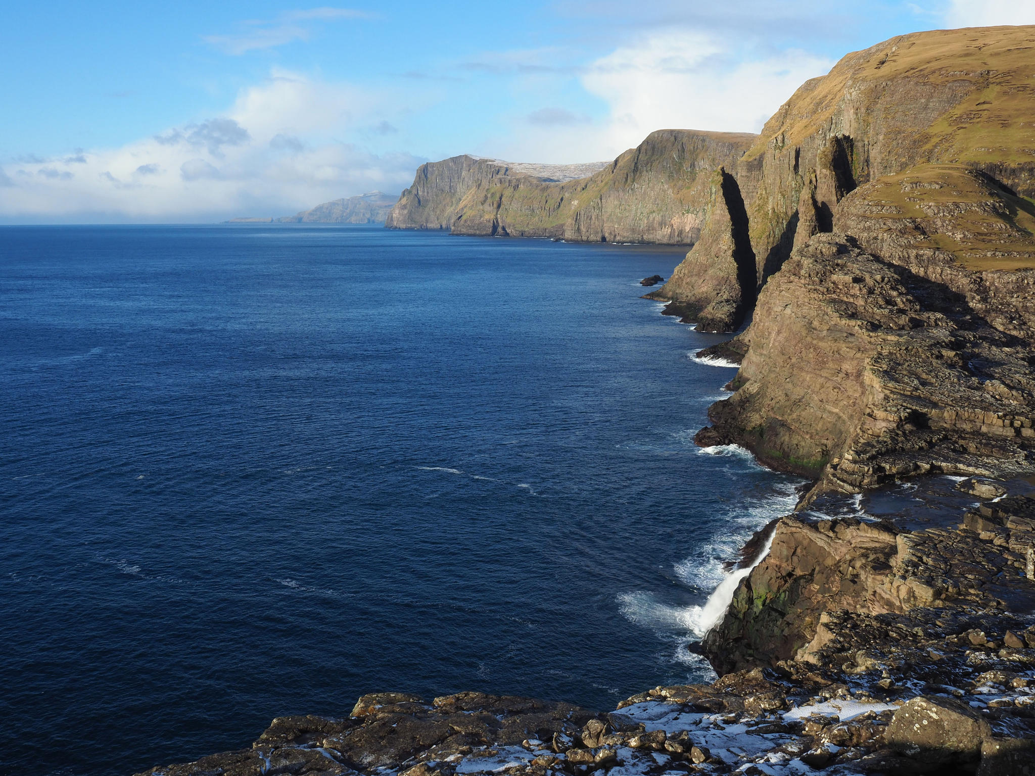
strange. More stunning than the lake is a view from Trælanípa mountain on Ritubergsnøva and the islands in the south.
The view is stunning for sure but not surprising because the internet is full
of it.
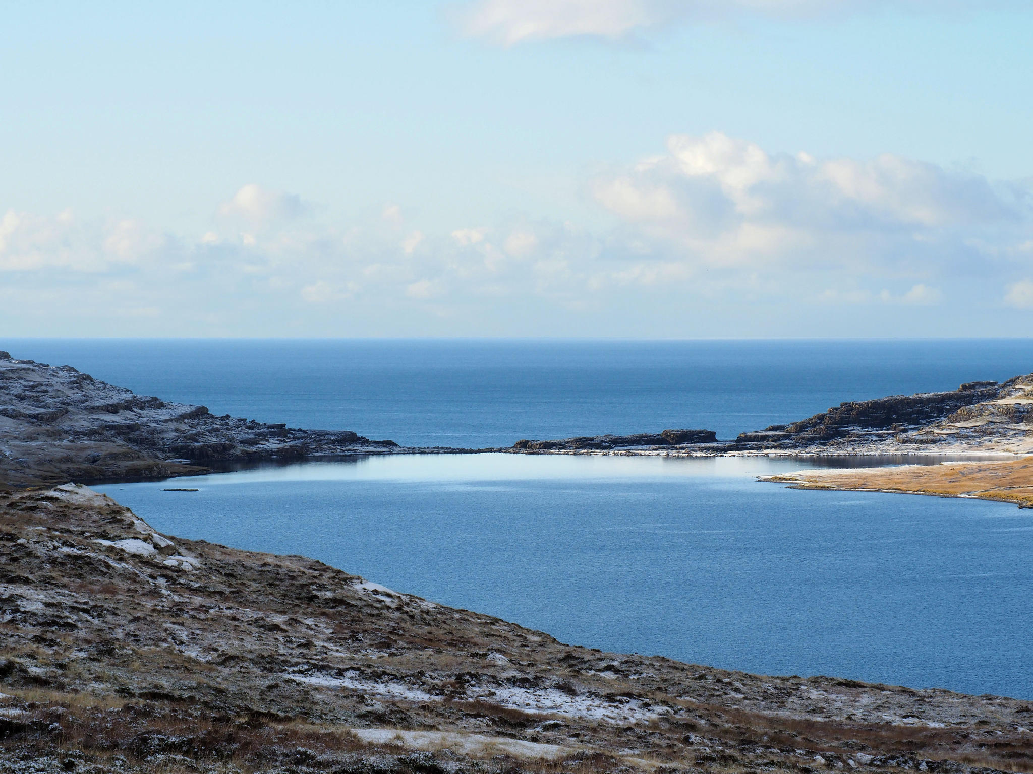
Down by the lake it would be possible to balance on
the rocks to the other side of the river but I cannot find the necessary
enthusiasm in me. It feels good enough on this side. Sun is shining, water mumbles
silently when touching the shore. Near the other shore is a flock of birds and
a lone kayaker.
In the beginning of the trail is a small house
where visitors have to buy a ticket. Private land, fair enough. There are also
places where it is obligatory to have a guide or be fined if found without one.
These I ignore. Kind of blackmail. How could a private person fine me anyway?
Here the house also offers “free” coffee and a chat with two local young men.
When here was no tunnel then there was more life on the island. Now everyone
rushes to Tórshavn.
They say that weather is always good on Vágar and they haven’t been to many
places that I have. We don’t find an answer to my question which is the correct
spelling of the mountain on Viðoy: Villingadalsfjall or Villingardalsfjall. I’ve
seen both versions online. But I get a trail recommendation for tomorrow.
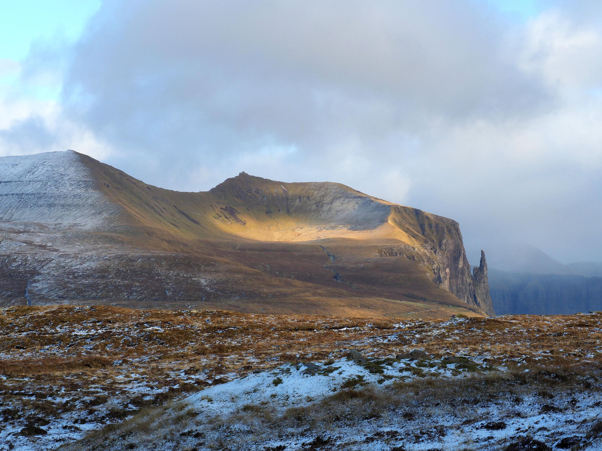
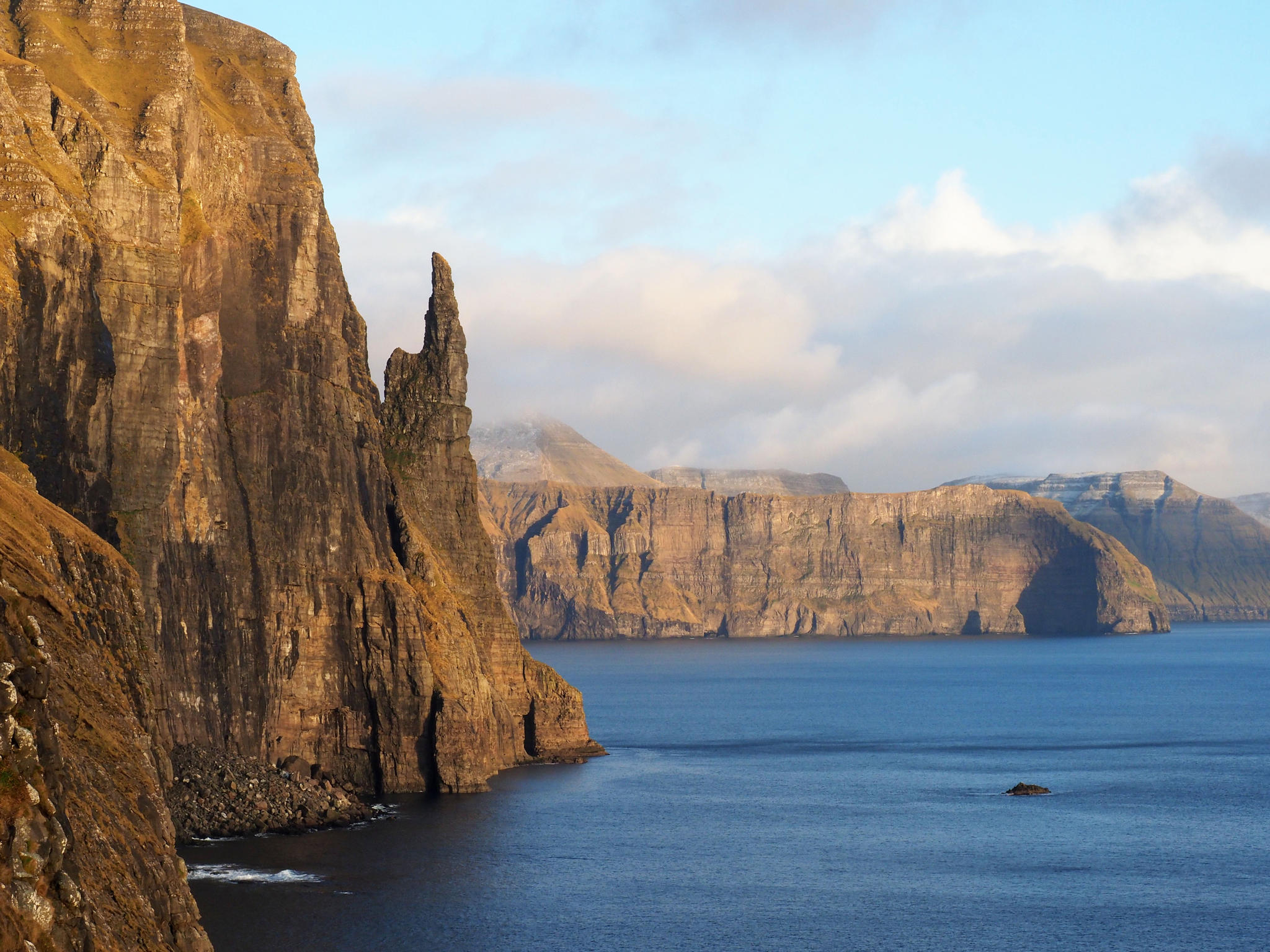
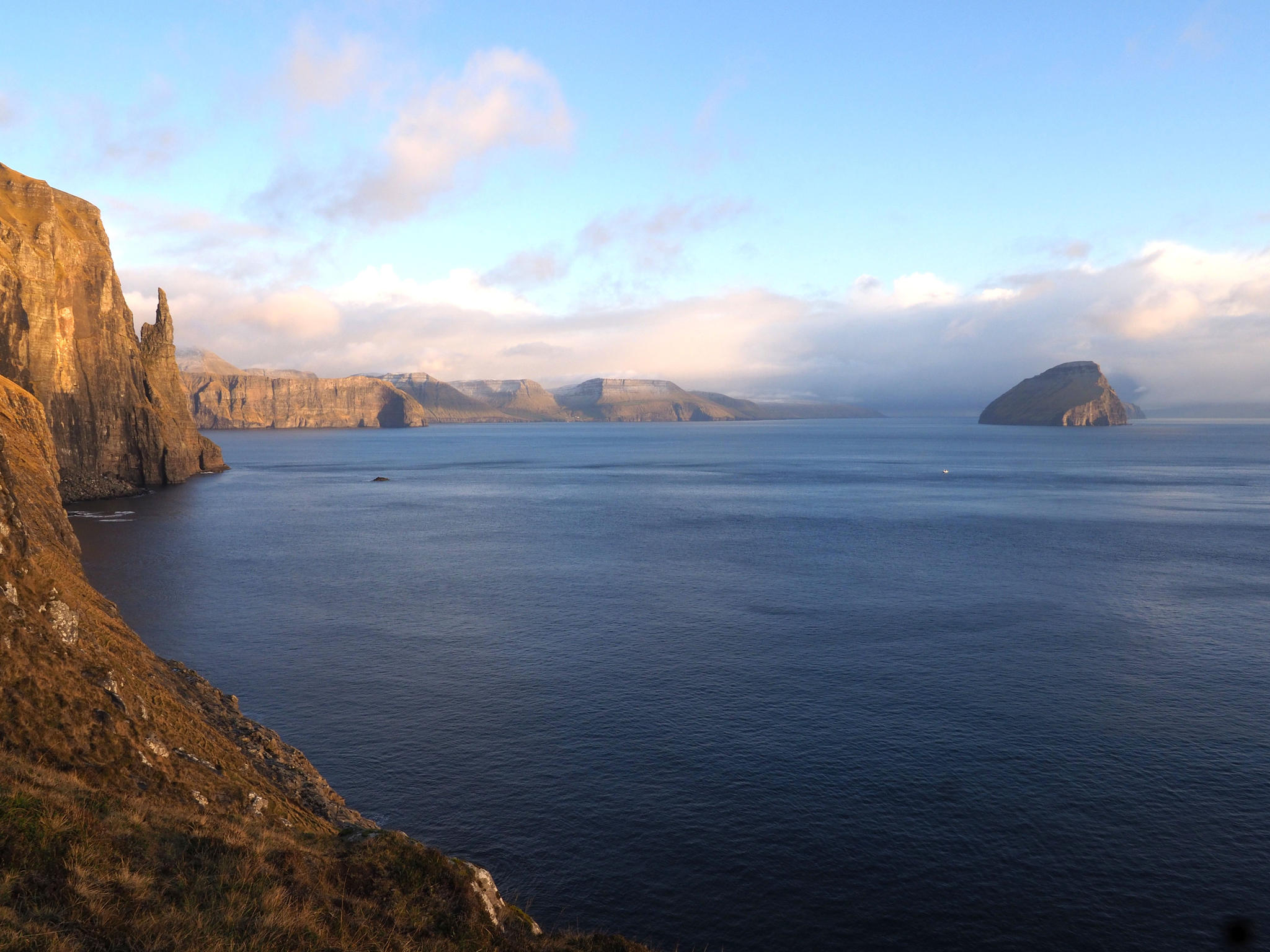
Before
heading back I go to the place where the witch’s finger and alleged neck can be
viewed together. Low evening sun makes everything look lovely.
Now
I have been on exactly half of the islands. Some are more to come but six will
definitely remain un-visited. This time.


Add a comment