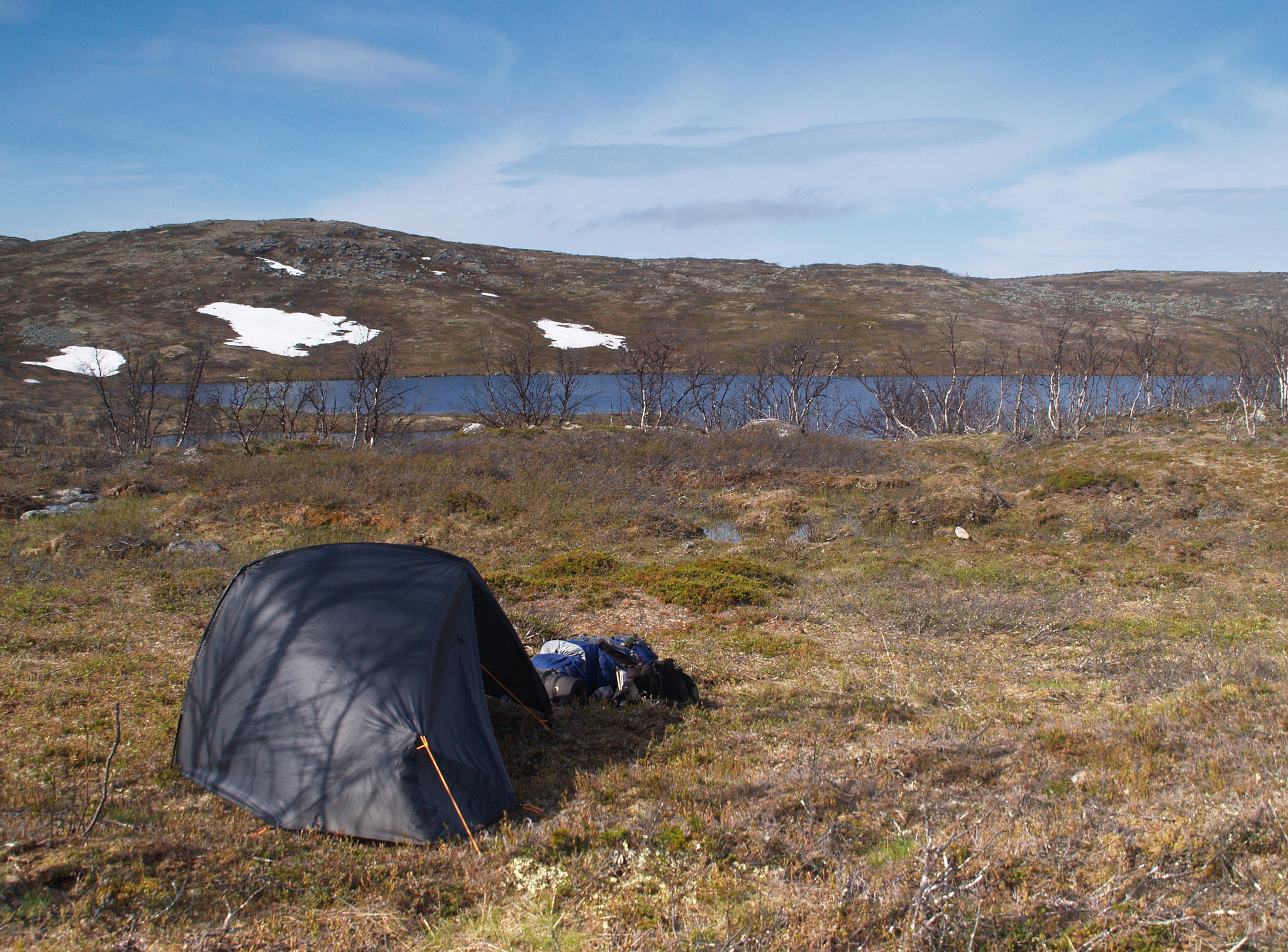
It rains in the night. Not very heavily. In a calm way.
It seems that it
was useful to wrap myself entirely in the silver thing but condensed
water formed between sleeping bag and silver wrapping. By the morning rain is over. I'm just putting clothes
on when sun light appears on the back wall of the tent. It gets many
degrees warmer right away. When opening the door I don't see nice
weather but dark gray angry clouds. So it is, in north clouds, south
sun.
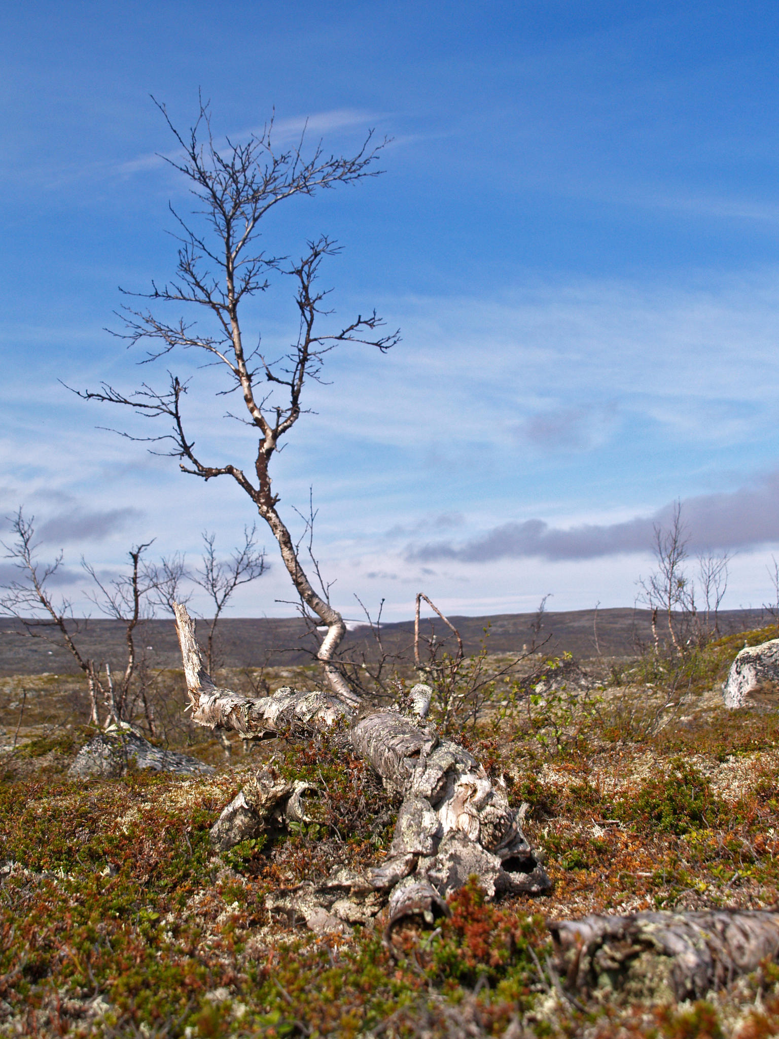
The beginning of walking goes nicely on the trail. A bit annoying is to find a decent fire place half a kilometer after my ad hoq camping ground. And there was supposed to be nothing on the Norwegian side.
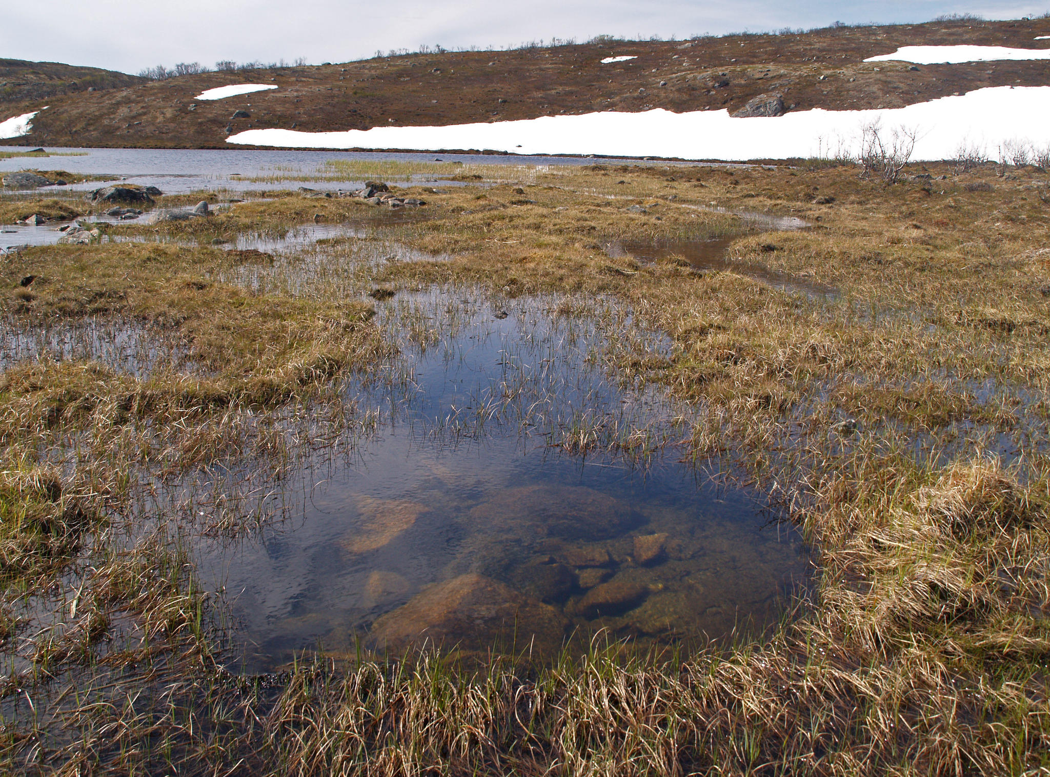
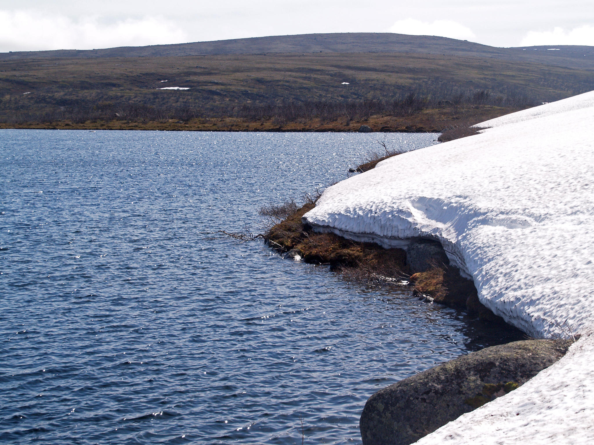
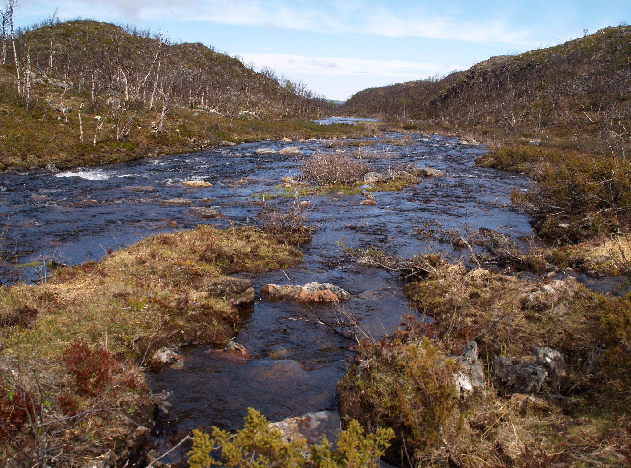
Tiny lakes are very deep. The ground below water surface is as steep as above. According to the map the average depth is about 200 meters and because water is clear then you can see the bottom of a lake only for a meter or two and then begins abyss.
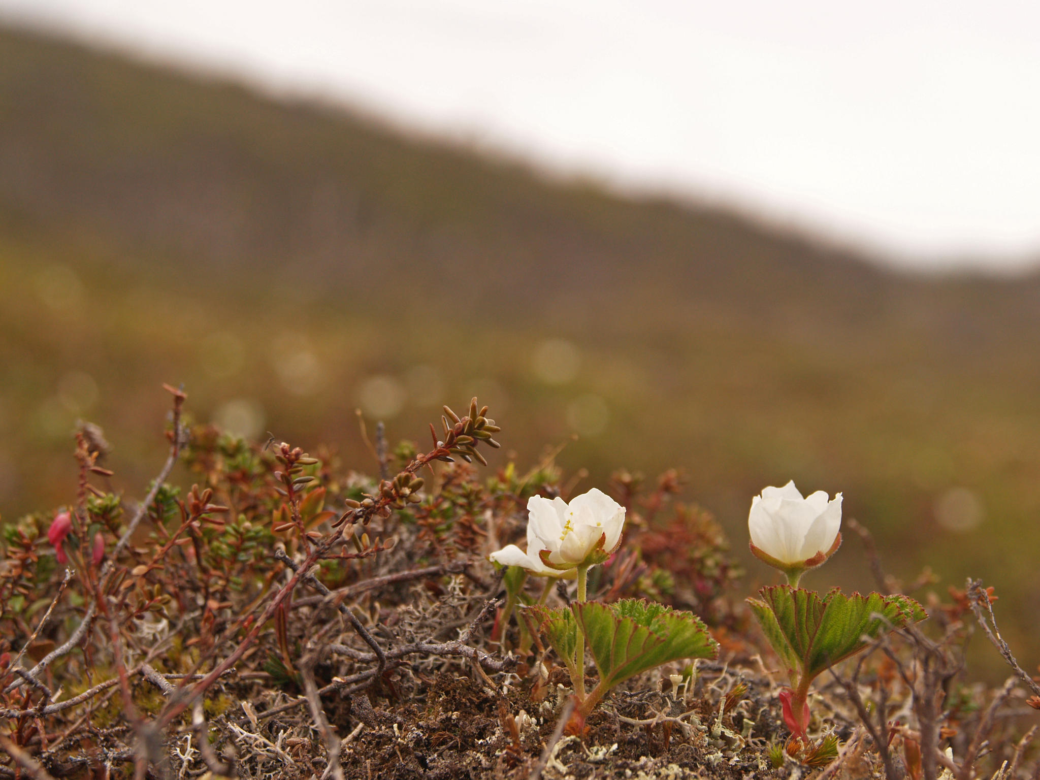
I cross a swampy area, by the next lake the trail is covered in thick snow. To be continued on the other side. A big bare area is inhabited by reindeer. Snow really must have been gone quite recently because their coats are rather white. They look at the hiker shortly and run away. Move in small groups.
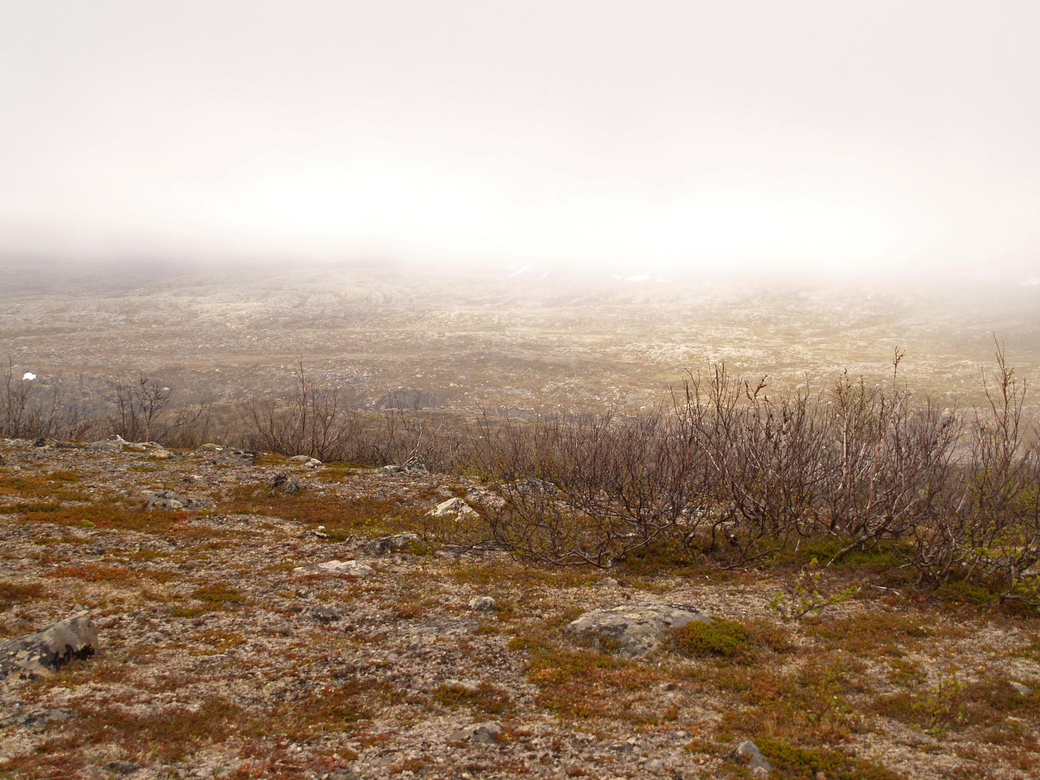
After long walking in north-west the trail at last turns north. Karlebotn is now directly ahead. Lakes stay behind for a while, in front is a long stretch of rocks and heather. There the Norwegian trail-makers manage to surprise again - I can't find the next mark even with binoculars. A familiar thing follows, compass and drang nach norden. I don't swim through the lakes but otherwise it goes in straight line. North stays stubbornly behind the highest peaks and swampiest places. Like climbing on Senja, only all day long, with dry moss and big back bag. You can also try to make crouches with a big bag. Luckily the rocks are padded here. At times landscape and map match, at times they do not. I even see a couple of trail marks but not the trail itself. A thick low cloud comes from sea, visibility disappears. Weather seems pretty nasty until sun sneaks through a hole in the clouds on the hillside opposite.
In the evening I find a tractor road. On the map there are a couple of those, all go to the big road. I turn right but the crossing that should be there, is not. Instead of it there's wide river. Basically it is possible to cross (maybe) but before trying I check what the GPS thinks of it. I've been walking south. To cross from there would mean going north but the road itself is dubious. I decide to turn back and stay with my initial choice of direction. Up a mountain again. The river causes a small worry because it will most probably not disappear and it could be that I still have to swim over it at some later point. Hopefully not. I climb high on the cliffs, river roars below but stays east. If the map doesn't lie (and if it's the river I think it is) then I don't have to cross it.
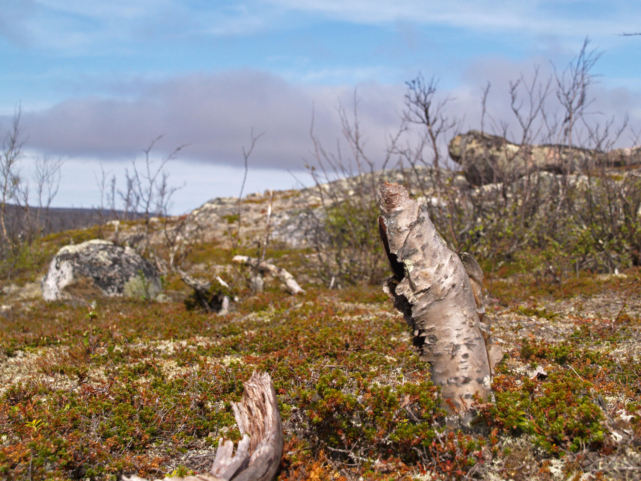
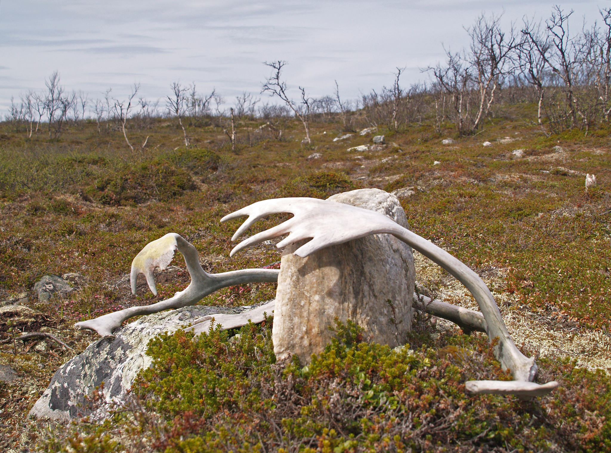
It's time to stay put for the night. High up the wind is very strong. I find a lower spot with a stream. The ground is not exactly level. We'll see how I'm going to sledge in the tent with my silver wrapping in the night. Surroundings are filled with animal dung, horns and bones for some reason.
22,5 km of climbing today.
The beginning of walking goes nicely on the trail. A bit annoying is to find a decent fire place half a kilometer after my ad hoq camping ground. And there was supposed to be nothing on the Norwegian side.
Tiny lakes are very deep. The ground below water surface is as steep as above. According to the map the average depth is about 200 meters and because water is clear then you can see the bottom of a lake only for a meter or two and then begins abyss.
I cross a swampy area, by the next lake the trail is covered in thick snow. To be continued on the other side. A big bare area is inhabited by reindeer. Snow really must have been gone quite recently because their coats are rather white. They look at the hiker shortly and run away. Move in small groups.
After long walking in north-west the trail at last turns north. Karlebotn is now directly ahead. Lakes stay behind for a while, in front is a long stretch of rocks and heather. There the Norwegian trail-makers manage to surprise again - I can't find the next mark even with binoculars. A familiar thing follows, compass and drang nach norden. I don't swim through the lakes but otherwise it goes in straight line. North stays stubbornly behind the highest peaks and swampiest places. Like climbing on Senja, only all day long, with dry moss and big back bag. You can also try to make crouches with a big bag. Luckily the rocks are padded here. At times landscape and map match, at times they do not. I even see a couple of trail marks but not the trail itself. A thick low cloud comes from sea, visibility disappears. Weather seems pretty nasty until sun sneaks through a hole in the clouds on the hillside opposite.
In the evening I find a tractor road. On the map there are a couple of those, all go to the big road. I turn right but the crossing that should be there, is not. Instead of it there's wide river. Basically it is possible to cross (maybe) but before trying I check what the GPS thinks of it. I've been walking south. To cross from there would mean going north but the road itself is dubious. I decide to turn back and stay with my initial choice of direction. Up a mountain again. The river causes a small worry because it will most probably not disappear and it could be that I still have to swim over it at some later point. Hopefully not. I climb high on the cliffs, river roars below but stays east. If the map doesn't lie (and if it's the river I think it is) then I don't have to cross it.
It's time to stay put for the night. High up the wind is very strong. I find a lower spot with a stream. The ground is not exactly level. We'll see how I'm going to sledge in the tent with my silver wrapping in the night. Surroundings are filled with animal dung, horns and bones for some reason.
22,5 km of climbing today.


Add a comment